Montana’s trail network spans national parks, national forests and wilderness areas that together offer some of the most varied hiking terrain in the country. From glacier-carved valleys in the north to the geothermal basins of Yellowstone’s edge, the state’s paths accommodate hikers ranging from families out for an afternoon to backcountry travelers planning multi-day traverses. The following list of the best hiking trails in Montana is organized by difficulty and includes distance, elevation gain and nearby services for each route.
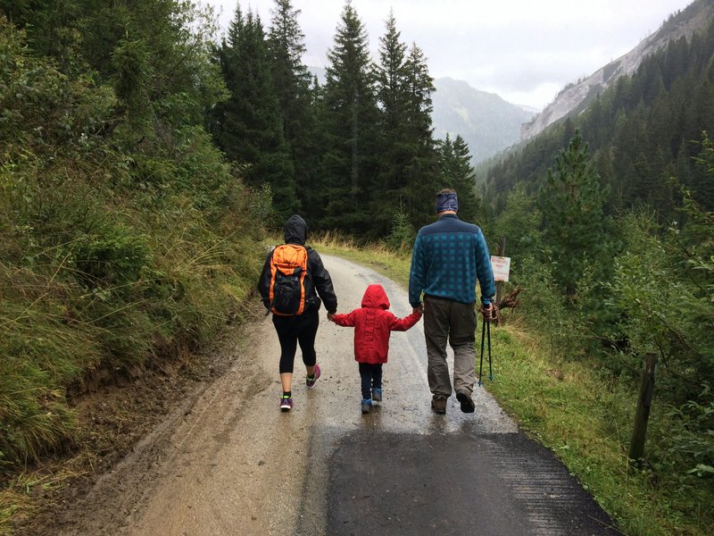
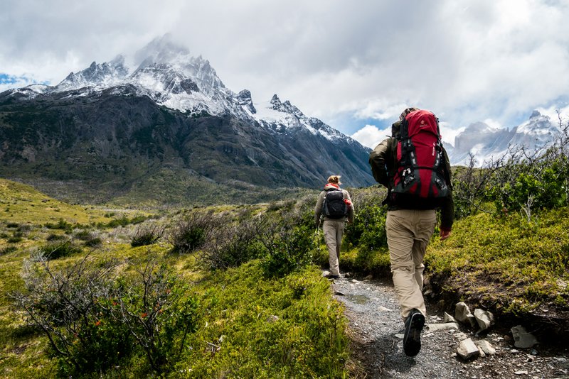
Easy Trails for Families and Beginners
Trail of the Cedars, Glacier National Park
This boardwalk loop near Avalanche Creek covers about one mile with almost no elevation gain, making it accessible to visitors of all ages and abilities. The trail winds through an old-growth cedar-hemlock forest and crosses the creek on a footbridge. Parking, restrooms and a campground are located at the trailhead, and the route is typically open from late spring through fall, though early-season visits can mean lingering snow at higher points along the loop.
Johnson Canyon, Beartooth Highway Area
A moderate two-mile round trip with roughly 200 feet of elevation gain, this trail follows a narrow canyon carved by Johnson Creek southeast of Red Lodge. The path is shaded for much of its length and ends at a series of small waterfalls. Limited pullout parking exists near the highway, and the nearest services are in Red Lodge, about 15 miles away. Summer is the best season, since the canyon retains snow into June most years.
Palisade Falls, Gallatin National Forest
Located south of Bozeman, this trail runs about one mile each way with 200 feet of elevation gain to a 60-foot waterfall. The path is paved for part of its length, and interpretive signs describe the area’s geology. A vault toilet and parking area sit at the trailhead. The trail is accessible from late spring through October, depending on snowpack in the Hyalite drainage.
Moderate Trails for Experienced Day Hikers
Hidden Lake Overlook, Glacier National Park
Starting at Logan Pass, this out-and-back trail covers about 2.7 miles round trip with approximately 460 feet of elevation gain. Much of the route follows a boardwalk through subalpine meadows before reaching an overlook above Hidden Lake. Mountain goats and bighorn sheep are commonly seen along this stretch. The Logan Pass Visitor Center provides restrooms and parking, though the lot fills early during peak summer months. The trail is generally snow-free from mid-July through September.
Beehive Basin, Big Sky
This popular trail near Big Sky runs about 6.5 miles round trip with roughly 1,600 feet of elevation gain, leading to an alpine lake surrounded by granite peaks in the Lee Metcalf Wilderness. The trailhead has limited parking, and hikers should arrive early on weekends. No amenities exist at the trailhead itself, though Big Sky’s town center is a short drive away. The trail is best hiked from July through September, after snow clears from the upper basin.
Rattlesnake National Recreation Area, Missoula
Just north of Missoula, this trail system offers routes of varying length, with a common day-hike option covering about 8 miles round trip and 1,200 feet of elevation gain to Franklin Bridge. The corridor follows Rattlesnake Creek through forested terrain and connects to a broader network of trails extending into designated wilderness. Parking, a trailhead kiosk and easy access from Missoula make this one of the more convenient moderate hikes in the state. It is hikeable nearly year-round, though snow and ice are common in winter.
Sacajawea Peak, Bridger Range
North of Bozeman, this trail climbs about 4.5 miles round trip with 2,200 feet of elevation gain to the highest point in the Bridger Range. The upper section crosses open scree slopes with views extending toward the Spanish Peaks and the Gallatin Valley. There are no facilities at the trailhead, and the access road can be rough for low-clearance vehicles. Late July through September is the recommended window, since snow lingers on the summit approach into early summer.
Strenuous Trails for Advanced Hikers
Grinnell Glacier, Glacier National Park
This trail totals about 10.6 miles round trip with 1,840 feet of elevation gain, ending near the base of Grinnell Glacier. Much of the route runs along the Many Glacier valley, passing several lakes before the final climb. A boat shuttle across two lakes can shorten the hike for those who prefer a shorter approach. The Many Glacier area has a campground, lodge and ranger station. The trail is typically accessible from July through September.
Granite Peak, Beartooth Mountains
As the highest point in Montana at 12,807 feet, Granite Peak draws experienced mountaineers rather than casual hikers. Routes to the summit vary, but most require two to three days round trip, involve significant elevation gain exceeding 7,000 feet from lower trailheads, and include exposed scrambling near the top. No services exist near the remote trailheads, and climbers should have technical mountaineering experience. The peak is typically attempted between July and September.
The Beaten Path, Beartooth Wilderness
This point-to-point backpacking route covers roughly 26 miles between East Rosebud and Cooke City, with cumulative elevation gain exceeding 4,000 feet across multiple passes. The trail passes dozens of alpine lakes and is typically hiked over three to five days. A vehicle shuttle is necessary, since the trail does not loop back to its starting point. No amenities exist along the route itself, though outfitters in Red Lodge and Cooke City can arrange shuttles. Snow can block the highest sections into July.
Avalanche Lake to Sperry Chalet, Glacier National Park
This extended route runs about 12.6 miles round trip with roughly 3,300 feet of elevation gain, climbing from Avalanche Lake to the historic Sperry Chalet site. The upper trail switchbacks steeply through subalpine terrain with views of Lake McDonald below. Reservations are required to stay overnight at the chalet, which offers limited lodging during summer months. The trail is best attempted from late July through September.
Multi-Day and Wilderness Routes
Continental Divide Trail, Bob Marshall Wilderness Segment
This section of the Continental Divide Trail passes through the Bob Marshall Wilderness, one of the largest roadless areas in the contiguous United States. Distances vary widely depending on entry and exit points, with many backpackers covering 40 to 60 miles over four to seven days. The area has no roads, cell service or facilities, and hikers must be prepared for stream crossings and grizzly bear activity. Access points include trailheads near Augusta and Seeley Lake. Summer through early fall is the recommended season.
Highline Trail, Glacier National Park
Running about 11.8 miles from Logan Pass to the Loop trailhead, this route gains relatively little elevation overall but traverses exposed cliffside terrain with a fixed cable section near its start. The trail offers extended views into the Livingston Range and passes Granite Park Chalet, which offers rustic overnight lodging by reservation. A shuttle bus connects the two trailheads during summer. The trail is typically open from July through September.
Pine Creek Lake, Absaroka-Beartooth Wilderness
South of Livingston, this trail covers about 9 miles round trip with 2,300 feet of elevation gain, passing a waterfall before reaching an alpine lake framed by granite cliffs. The trailhead has basic parking and a nearby campground operated by the Custer Gallatin National Forest. The route is best hiked from July through September, when the creek crossings are lower and safer.
Conclusion
Montana’s terrain accommodates hikers at every level, from paved, mile-long loops near visitor centers to multi-day traverses through roadless wilderness. Trail conditions vary significantly by elevation and snowpack, so checking current conditions with the relevant national park or forest office before setting out is advisable. Together, these routes represent a cross-section of the best hiking trails in Montana, spanning the state’s mountain ranges, wilderness areas and national parks.